Places
Places residents actually use, not only the harbour postcard
Sai Kung, Discovery Bay, Sham Shui Po, Cheung Chau, Dragon’s Back, MacLehose Stage 2, Temple Street, North Point, High Island East Dam — how to get there and what to do.
Notes dated 2026-09
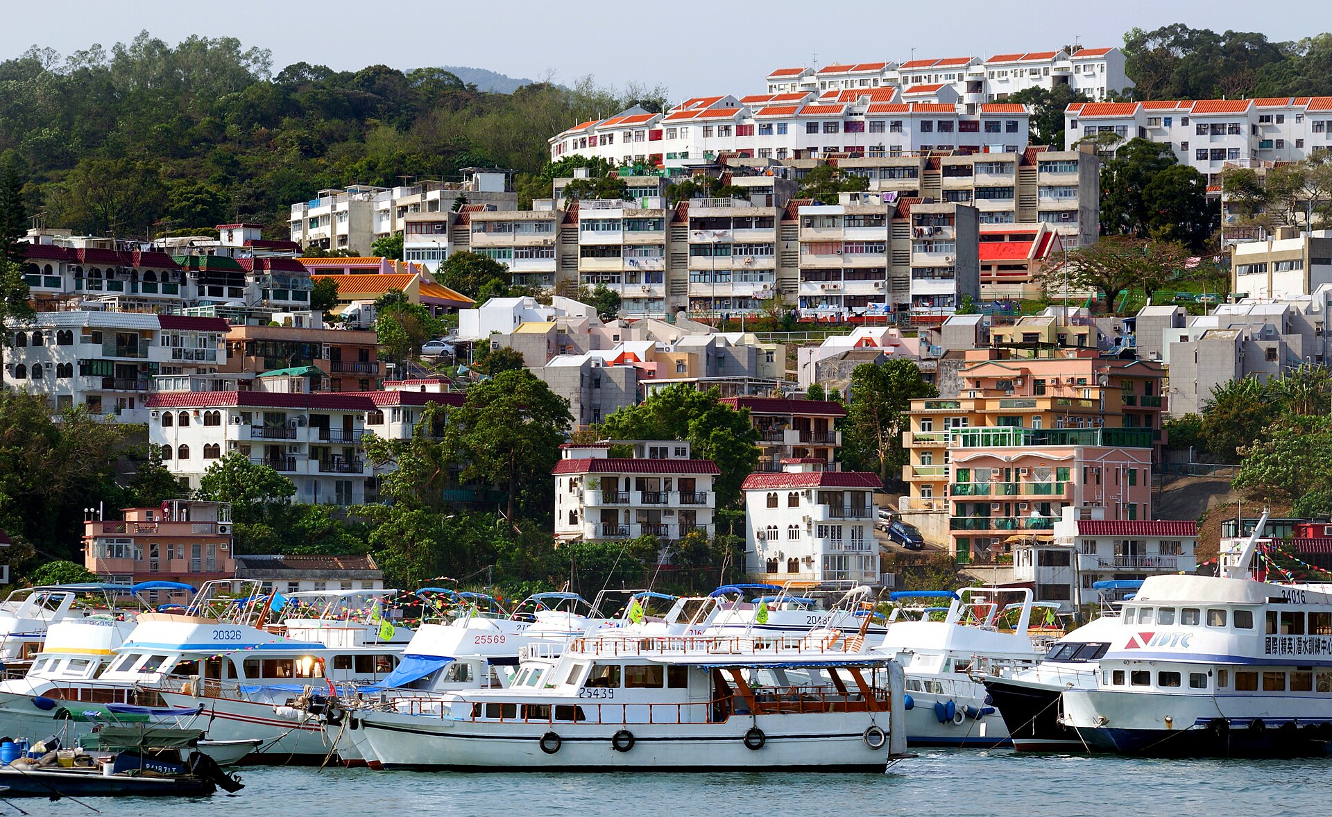
See the harbour once, not three times. The places below fill with local families, hikers, and people buying parts on weekends. They are not the first stop on a coach tour.
| Place | From town | Best when |
|---|---|---|
| Sai Kung | Bus 92 / 1A-type from Diamond Hill | Seafood, the sea, trailheads |
| Discovery Bay | Central Pier 3 ferry, or bus from Tung Chung / Sunny Bay | Planned seaside town, beach, a slower pace |
| Sham Shui Po | MTR Sham Shui Po / Cheung Sha Wan | Parts, fabric, cheap meals |
| Cheung Chau | Central Pier 5 ferry | A day island, bikes, beaches |
| Dragon’s Back | Bus 9 from Shau Kei Wan to To Tei Wan | Clear hiking weather, never a typhoon |
| MacLehose Stage 2 | From Sai Kung to East Dam or Sai Wan Pavilion | Sai Wan and Ham Tin coast — not the full 100 km |
| Temple Street | Walk from Jordan / Yau Ma Tei | Evening stalls |
| North Point | Island line North Point, or tram | Chun Yeung Street market, local breakfast |
| High Island East Dam | Green minibus 9A from Pak Tam Chung on weekends | Hexagonal rock, sun and water |
| Castle Peak Bay | Light Rail Sam Shing, or Castle Peak Road bus | A western NT swim in summer |
In this chapter
Sai Kung: seafood, water, and the porch of the trails Sai Kung town pier, seafood streets, buses toward Pak Tam Chung and High Island. Change at Diamond Hill. Weekends are packed — check 1933 before you go. Sham Shui Po: parts, fabric, SIMs — not a photo set Apliu Street electronics, Golden Computer Arcade, fabric, cheap food. MTR Sham Shui Po. Crowded — watch your bag. It is not a “danger zone”. Cheung Chau: a one-day island from Central Ordinary or deluxe ferry from Central Pier 5. Rent a bike, walk Tung Wan, eat. Signal No. 8 cancels sailings. Dragon’s Back: bus 9 from Shau Kei Wan, alight at To Tei Wan The well-known ridge on Hong Kong Island East. MTR Shau Kei Wan A2/A3, then bus 9 or a red minibus. Alight To Tei Wan. Water, a hat, no rainstorm days. Temple Street: it only becomes Temple Street after dark Yau Ma Tei / Jordan Temple Street night market: clothes, snacks, fortune tellers. Cash helps. In the afternoon it looks like nothing. North Point: the tram runs through Chun Yeung Street market North Point on the Island: Chun Yeung Street market, with the tram running between stalls. A local breakfast explains the city better than a waterfront mall. High Island East Dam: hexagonal rock, and a weekend minibus Hexagonal volcanic columns at High Island East Dam, Sai Kung. Weekends and public holidays: Pak Tam Chung, then green minibus 9A. Sun, water, last bus. Discovery Bay: a planned seaside town, twenty-five minutes from Central Discovery Bay is a planned north-Lantau town: beach, plaza, slower than Central. Fast ferry from Central Pier 3 in about 25 minutes; or a DB bus from Tung Chung or Sunny Bay. Not Cheung Chau, not Disneyland. MacLehose Stage 2: Sai Wan and Ham Tin, not the full hundred kilometres The MacLehose Trail is ten stages, about 100 km. First visit: Stage 2 only. The point is the Sai Wan and Ham Tin coast. Longer than Dragon’s Back; a full day. Weekend access from Sai Kung. No rainstorms. Castle Peak Bay Beach: Tuen Mun’s water, not the harbour show LCSD Castle Peak Bay Beach at 19 miles, Castle Peak Road, Tuen Mun. Changing rooms, barbecue, lockers. Lifeguards typically April–October. Light Rail Sam Shing or bus.
Questions
I only have two days. Which ones?
One day: harbour, a cha chaan teng, Temple Street. The other: Sai Kung, Discovery Bay, or Cheung Chau if the weather is kind; Sham Shui Po plus North Point market if you want to spend less. Dragon’s Back and MacLehose Stage 2 need half a day — do not squeeze them into a day that already crossed the harbour three times.